Map Data
Our map data products are created and maintained by our dedicated team of geographic experts
World Map Data
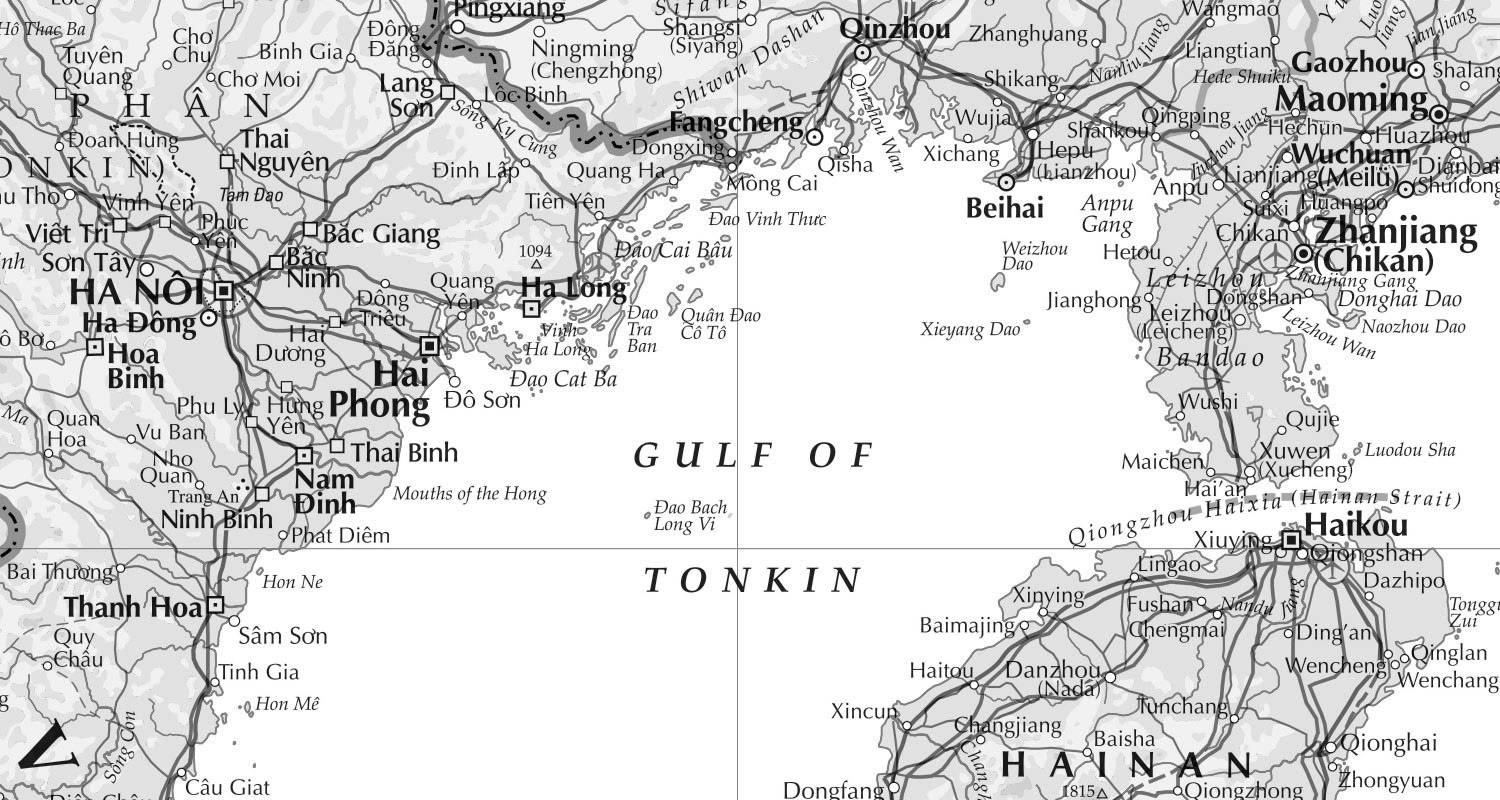
Vector, raster and textual data of all our world products

- World Explorer Premium – The full vector World map data product from Collins Bartholomew
- World Midscales Explorer – Our most detailed and up-to-date world map data product
- World Panorama – A global raster GeoTiff created from World Explorer Premium
- World Locate Premium – Global placename gazetteer
- Newsroom – Information on how to display and discuss conflict and dispute
- Custom Mapping – A bespoke solution to your specific mapping requirements
UK & Ireland Map Data
Street and road level map data of the UK and Ireland

- A-Z Streets – The iconic A-Z style of mapping available as raster map data at street level
- A-Z Roads – Road level map data for the United Kingdom
- UK & Ireland Explorer – Road atlas style digital map data
- UK & Ireland Panorama 200K – Digital map data in raster format, consistent in scale, content and specification
- UK & Ireland Panorama 800K – GeoTiff mapping of UK & Ireland
Mobile Network Coverage Map Data
Network coverage information provided directly from its source all around the world

- Mobile Coverage Explorer – A representation of the area covered by mobile networks around the world
- Mobile Coverage Legacy – Historical mobile network coverage data
Place Name Data
Gazetteer data known for its authority

- World Locate Premium – A world gazetteer with ~3,600,000 names
- UK & Ireland Locate – Names and Points of Interest (POI) covering UK & Ireland
Postcode Data
Detailed and up-to-date postcode data

- Postcode – Detailed boundary information for approximately 9,500 Sector postcodes