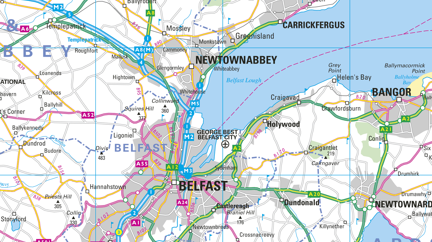
UK & Ireland Explorer and Panorama
Digital map data in both vector and raster format.
Our seamless vector map database of the United
Kingdom and Ireland at a scale of 1:200,000. Also includes the Channel Islands and the Isle of Man.
A digital map in raster format consistent in scale, content and specification covering England, Scotland, Wales, Northern Ireland,
the Channel Islands, Isle of Man, and Ireland at a scale of 1:200,000.
A digital map in raster format consistent in scale, content and specification covering England, Scotland, Wales, Northern Ireland,
the Channel Islands, Isle of Man, and Ireland at a scale of 1:800,000.
All Collins Bartholomew UK & Ireland map data products are continuously maintained by our dedicated team. Each year they make literally thousands of edits using a variety of high resolution sources. Sometimes, they even find themselves on the road undertaking GPS surveys to ensure what we offer, is accurate and up-to-date.