UK & Ireland Map Data
Street and road level UK and Ireland map data. We have a long tradition in creating, maintaining and styling map data under the brands of A-Z and Collins Bartholomew.
This iconic brand covers most of Great Britain at street and road level. It is continuously maintained by our cartographers and provides detailed mapping in raster format at 1:10,000 scale.

Street Data
Our iconic A-Z Street data covers most of Great Britain. It is continuously maintained by our cartographers and provides detailed mapping in raster format at 1:10,000 scale.

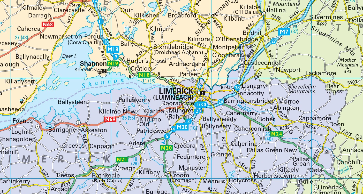
Road Data
Available at 1:200,000 scale and covering the whole of the United Kingdom and Ireland, our road level data offers overview mapping under the A-Z and Collins Bartholomew brands.
Suggested Products
A-Z Streets
Seamless vector map database of the United
Kingdom and Ireland
A-Z Roads
The iconic A-Z map style is available as raster data
UK & Ireland Explorer
Digital map data in both vector and raster format
UK & Ireland Panorama 200K
Raster map data at a scale of 1:200,000
UK & Ireland Panorama 800K
Raster map data at a scale of 1:800,000
Would you like to know more?